Les Grandes-Fontaines
Now enjoy the quietness of this park of dry lawns. Part of the park runs along, to the west, a shady stream that will take you to the south entrance to the park where the panel describing this stage ㉔ is placed on the side of the road.
End of the tourist route
The members of the “Assembly of Elders” who designed this discovery tour of the heritage of Bléré hope that you enjoyed the visit.
Now, from the Grandes-Fontaines, let’s go back to downtown Bléré:
| « | → To return to Bléré |
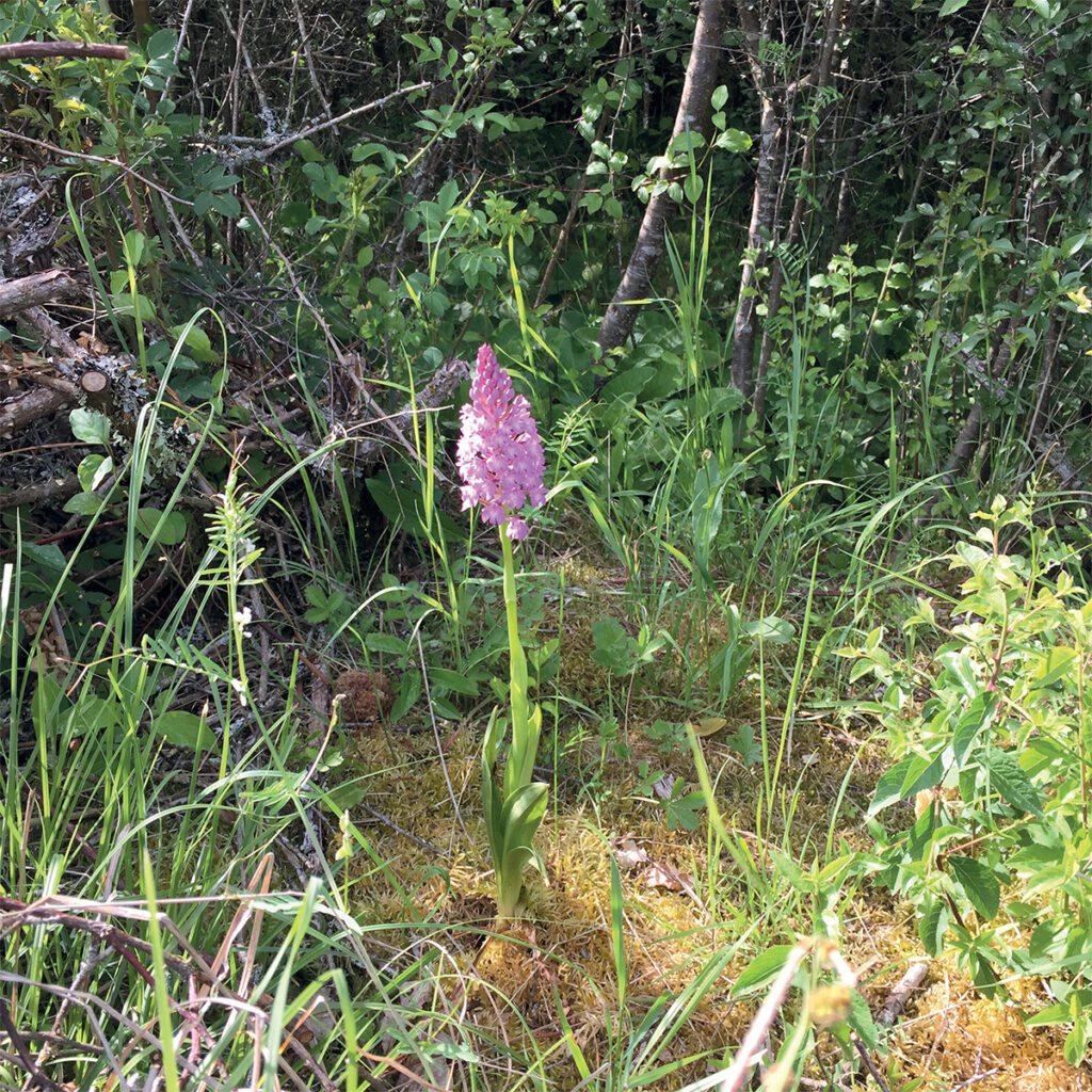
The site of the Grandes-Fontaines is now classified as an area of outstanding natural beauty because of its wide diversity of insects and flowers. It was deemed to be poor soil and it was
used as a stone quarry. Throughout the 19th century, it was used for extracting limestone to feed the lime kilns of the commune ; one was installed on this site and it was still visible up to 1960.
The wetland along the stream has been called the Herpenty since ancient times and its source tapped over time.
© Photo : Régine Malveau
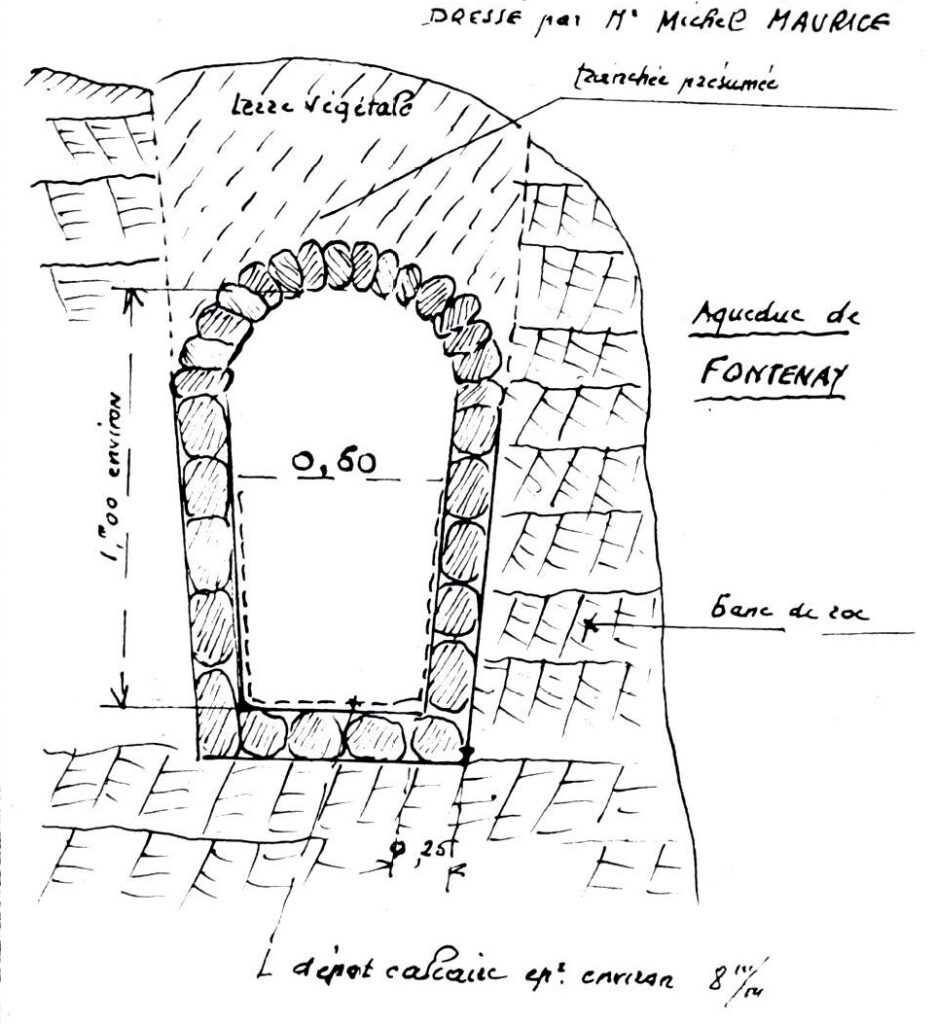
Earlier modifications have been discovered near the source, which was used in Gallo-Roman times to feed the 25 km long aqueduct bringing water to Tours.
The heavy flow of the source is linked to its position at the edge of a low lying trough, this gap allowing drainage of a large amount of water from a reservoir covering 14 km². To this geological feature were added underground draining galleries dug out under the plateau containing built structures and reservoirs within their vast hydraulic system. The water was then collected at the source of the Herpenty in a brick reservoir from where it was carried to the aqueduct.
There is no trace of this system which was destroyed in order to build Bléré’s current water distribution system, set up in 1963 and still active today.
© Michel Maurice (1948)